
Last summer, a man created virtual traffic jams using a red wagon and 99 smartphones. Artist Simon Weckert hacked Google maps by opening each of the phones to the app and walking down empty streets. The routes became red zones on Google Maps, as the algorithm rerouted drivers to avoid these hilariously desolate areas.
“By transporting the smartphones in the street I’m able to generate virtual traffic which will navigate cars on another route,” said Weckert. “Ironically that can generate a real traffic jam somewhere else in the city.”
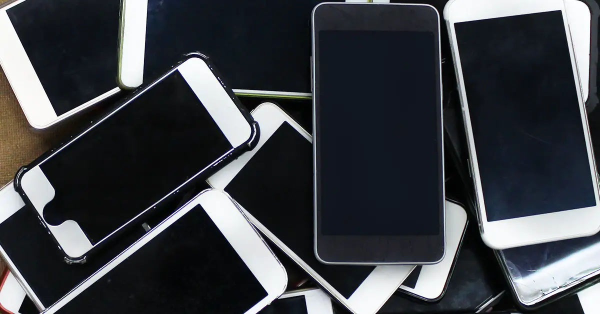
Creating Virtual Traffic Jams with a Wagon and Smartphones
The artist noticed something strange at a May Day demonstration in Berlin three years ago. Despite there being no cars on the road, Google Maps reported traffic jams. It couldn’t be cars that send traffic data; it was people, or more specifically, the phones in their pockets. So Weckert decided to try this for himself.
“The question was if it might be possible to generate something like this in a much simpler way,” he said. “I don’t need the people. I just need their smartphones.” [1]
Weckert did this little experiment to bring people’s attention to the technology they depend on every day. “Isn’t it crazy [how] much space is used by a car in a city compared to the usage?” he said. “The hack shows us what is possible with this technology and who we rely on.”
Don’t worry, Weckert didn’t buy 99 Android smartphones; he rented them and bought their sim cards online. Then he walked for an hour or so at a specific area to create his virtual traffic jam. “My subjective feeling was that even this short time was already enough to change the traffic in the street,” he said.
You could see him at work in the video he posted on his YouTube channel.
“There is no such thing as neutral data”
Although people depend on Google Maps to travel, Weckert wanted people to become aware of the biases the data might present. Although we assume technology is unbiased and factual, its programming depends on the human who designed it. “Data is always translated to what they might be presented. The images, lists, graphs, and maps that represent those data are all interpretations, and there is no such thing as neutral data. Data is always collected for a specific purpose, by a combination of people, technology, money, commerce, and government.”
As Weckert has proven, the maps aren’t a real depiction of reality, only a version of it. “Maps have the potential as an instrument of power,” he said. “They substitute political and military power in a way that represents the state borders between territories and they can repeat, legitimate, and construct the differences of classes and social self-understandings.”
Knowing that data has biases makes them easier to hack, as Weckert has done in his demonstration. Actually, making virtual traffic jams now seems outrageously simple, albeit expensive.
“In this process, it is pointing out the fact that we are highly focused on the data and tend to see them as objective, unambiguous, and interpretation free,” he said. “In doing so, a blindness arises against the processes that data generates and the assumption that numbers speak for themselves. Not only the collection of data provides an interpretative scope, but also computing processes allows further interpretations.”
“Thus data are viewed as the world itself, forgetting that the numbers are only representing a model of the world.” [2]
Google Maps Responds
Google spokeswoman Ivy Hunt explains that different sources constantly update traffic data reports. Smartphones with their location turned on is one of these sources.
“We’ve launched the ability to distinguish between cars and motorcycles in several countries including India, Indonesia, and Egypt, though we haven’t quite cracked traveling by wagon,” she wrote. “We appreciate seeing creative uses of Google Maps like this as it helps us make maps work better over time.” [3]
Hopefully, this will be the case. Now that “how to hack Google Maps” is public, anyone can make the same experiment or a similar one. Additionally, as Weckert realized at the May Day demonstration that inspired his experiment, virtual traffic jams could sometimes be indicative of a large number of people — not necessarily cars. So keep that in mind the next time your path re-routes. Sometimes the shortest route isn’t quite the shortest route.
Despite Weckerts overall dislike of social media, he seeks to understand the power it holds, and he wants to share that knowledge with others. His wagon and 99 smartphone experiment actually took place last summer, but he published the video on February 1st this year in honor of Google Maps’ 15th birthday. [4]
Keep Reading: I’ve slept in cardboard boxes, vans and trucks. Now I live with my three dogs in a 25-foot sailboat
Sources
- “An Artist Used 99 Phones to Fake a Google Maps Traffic Jam.” Wired. Brian Barrett. February 2, 2020.
- “This Man Created Traffic Jams on Google Maps Using a Red Wagon Full of Phones.” Vice. Matthew Gault. February 3, 2020.
- “A man walked down a street with 99 phones in a wagon. Google Maps thought it was a traffic jam.” The Washington Post. Brittany Shammas. February 5, 2020.
- “An artist wheeled 99 smartphones around in a wagon to create fake traffic jams on Google Maps.” Business Insider. Aaron Holmes. February 3, 2020